Seventeen Provinces Low Countries Netherlands c. 1750's engraved historical map
Brian DiMambro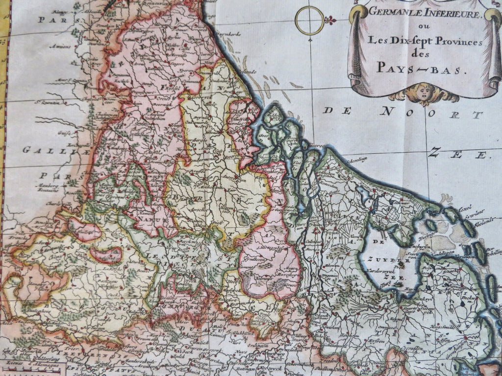
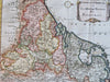
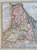
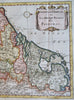
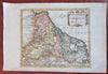
Germanie Inferierure ou Les Dix-Sept Pronves des Pays Bas.
(Old Maps, 18th Century Maps, Europe, Holy Roman Empire, Low Countries, Netherlands, Holland, Belgium, Luxembourg).
Issued c. 1750's, Paris.
Mid 18th century engraved map with attractive hand color. Large banner cartouche features gargoyle and cupid heads.
Remains a nice looking example with a pleasing age patina. Any age flaws mostly minor and easy to overlook or forgive.
Original fold lines as issued.
Sheet Measures c. 9 1/2" H x 14" W.
Engraved Area Measures c. 8 1/4" H x 9 1/2" W.
[R32386].