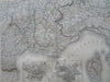
South of France Mediterranean Coast Lyon Marseilles Nice 1860's huge scarce map
Brian DiMambro- Antiquarian Books, Maps & Prints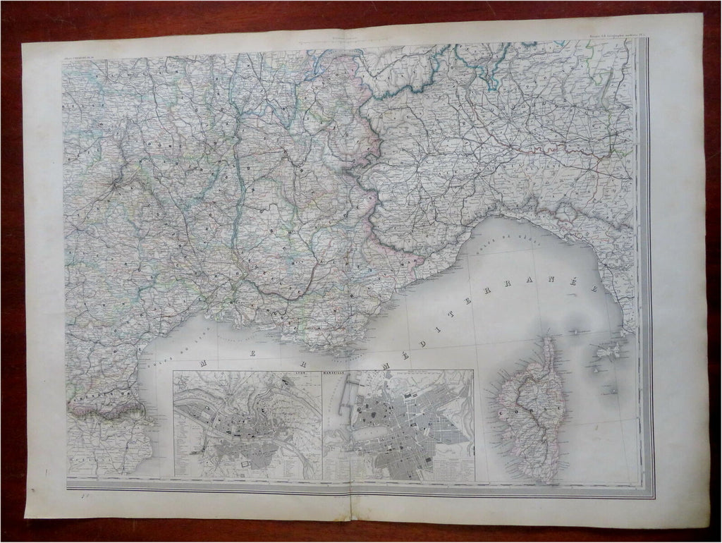
Untitled.
(Old Maps, 19th Century Maps, Europe, France, Southern France, Mediterranean Coast, Lyon, Marseilles, Corsica, Nice, Toulouse, Languedoc).
Issued c. 1860's, Paris by Louis Antoine.
Oversize (near elephant folio) mid 19th century engraved map with lovely original hand color.
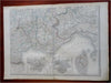
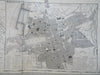
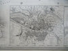
Focuses on the southern Mediterranean coast which includes the French Riviera and the island of Corsica in nice detail. Both city plans are well executed and have keys identifying well over 40 specific locations each.
Well preserved, nice looking example with pleasing age patina.
Original center fold as issued.
Sheet Measures c. 24" H x 37" W.
Engraved Area Measures c. 22" H x 29 1/2" W.
Cartographic Reference(s):
Tooley's Dictionary of Mapmakers, vol. 1.
[R30473].