Southeastern Alaska Boundary Proposals 1903 Hoen Alaska Boundary Tribunal map
Brian DiMambro- Antiquarian Books, Maps & Prints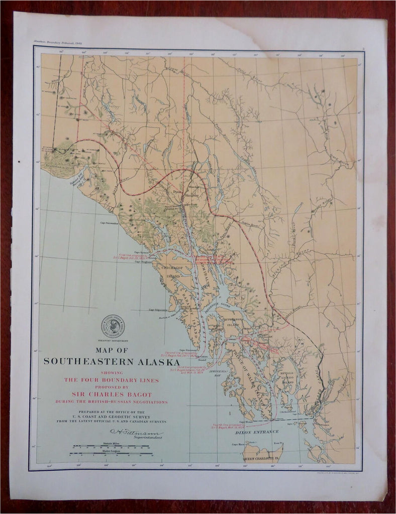
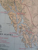
Map of Southeastern Alaska, Showing the Four Boundary Lines Proposed by Sir Charles Bagot During the British-Russian Negotians.
(North America, United States, Alaska, Alexander Archipelago, Prince of Wales Island, Chicagof Island, Dixon Entrance).
Issued 1903, Washington for the Alaskan Boundary Tribunal. Lithographed in Baltimore by Hoen.
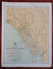
Oversized early 20th century color lithographed map prepared for the use of a 1903 international tribunal to finalize the Alaskan border with Canada.
Well preserved, nice looking example with pleasing age patina.
Sheet Measures c. 19" H x 14 1/2" W.
Printed Area Measures c. 16 1/2" H x 13" W.
Cartographic Reference(s):
Tooley's Dictionary of Mapmakers, vol. 2.
[R28319].