Thuringia Holy Roman Empire Erfurt Mulhouse c. 1750 Homann decorative folio map
Brian DiMambro- Antiquarian Books, Maps & Prints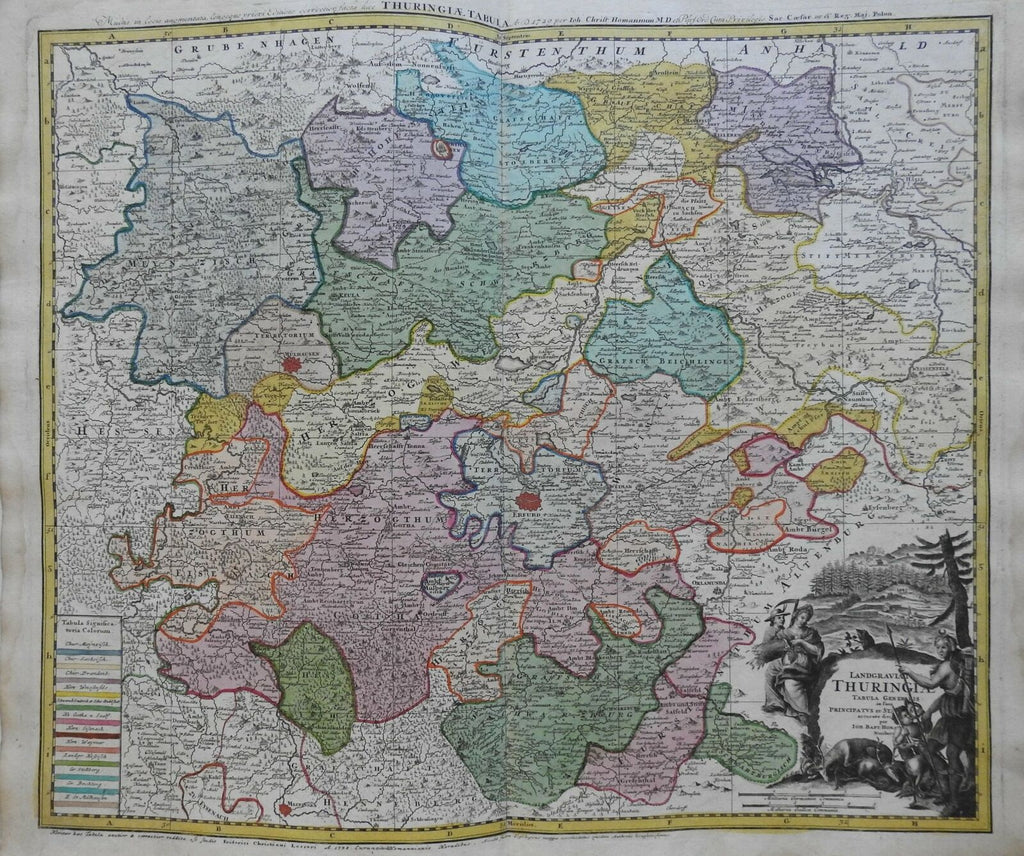
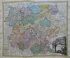
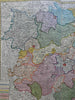
Langraviate Thuringiae Tabula Generalis.
(Europe, Holy Roman Empire, Germany, Thuringia, Erfurt, Mulhouse).
Issued c. 1750, Nuremberg by Homann.
Fine mid 18th century folio sheet engraved map, with full original hand color. Large decorative cartouche.
Nice looking example, pleasing age patina, any minor age flaws easy to overlook or forgive.
Original center fold as issued.
Sheet Measures c. 21 1/2" H x 24 "W.
Engraved Area Measures c. 19 1/4" H x 22" W.
Cartographic Reference(s):
Tooley's Dictionary of Mapmakers, vol. 2, pp. 361.
[R22321].