Tournay Hainaut Belgium Siege Plan c. 1745 Basire engraved city plan troops
Brian DiMambro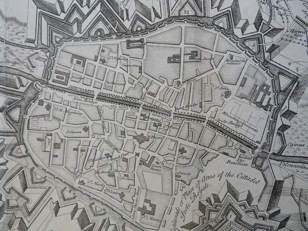
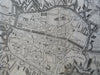
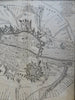
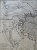
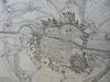
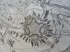
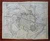
Plan of the Siege of Tournay.
(Old Maps, 18th Century Maps, Europe, Belgium, Hainaut, Tournay, Siege Military Fortifications, Star Fort, City Plan).
Issued c. 1745 London by Tindall. Engraved by J. Basire.
Mid 18th century detailed engraved city plan.
Nice looking example, pleasing age patina, any minor age flaws easy to overlook or forgive. Key at lower left identifies 7 specific locations, many more identified within the plan.
Original fold lines as issued.
Sheet measures c. 16" H x 19 1/2" W.
Engraved area measures c. 14 1/4" H x 18 1/2" W.
Cartographic Reference(s):.
Tooley's Dictionary of Mapmakers, vol. 1.
[R31429].