Florida state Panama Nicaragua Proposed Canals Bermuda 1889 Bradley huge old map
AntiqueMapsPrints.com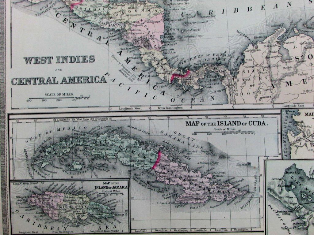
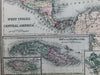
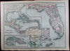
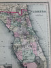
West Indies and Central America / Florida / Map of the Island of Cuba /
Map of the Island of Jamaica / Map of the Panama Railroad and Proposed Canal /
Map of the Proposed Nicaragua Canal Route /Map of the Bermuda Islands / Map of the Proposed Ship Rail Road Route Across the Isthmus of Tehuantepee / etc.
(Caribbean / West Indies / etc.)
Issued Philadelphia, 1889 by William Bradley & Bros.
Oversized and quite uncommon late-19th century antique map. Engraved and lithographed with original hand color.
Fascinating map, much nicer than one might think at a quick glance. The three proposed trans-oceanic canals are rarely found together in such detail as insets on a single map, making this one of note. Florida shown with an excellent level of detail, there being no railroad line within hundreds of miles of Miami at this time.
Features 7 inset maps, all of which display a profusion of interior details.
In near VG or better condition, minor light surface age wear and toning as typical, but overall a superior visual example. Trivial old light dampstaining along the edges of the wide blank margins, scarcely worthy of mention.
Original fold line as issued.
Sheet measures c. 26" x 19"
Engraved area measures c. 21 1/2" x 14 1/2"
Tooley's Dictionary of Mapmakers , vol. I, pg. 182.
[R12714]