Nebraska state w/ Indian lands reservations Colorado 1889 Bradley huge old map
AntiqueMapsPrints.com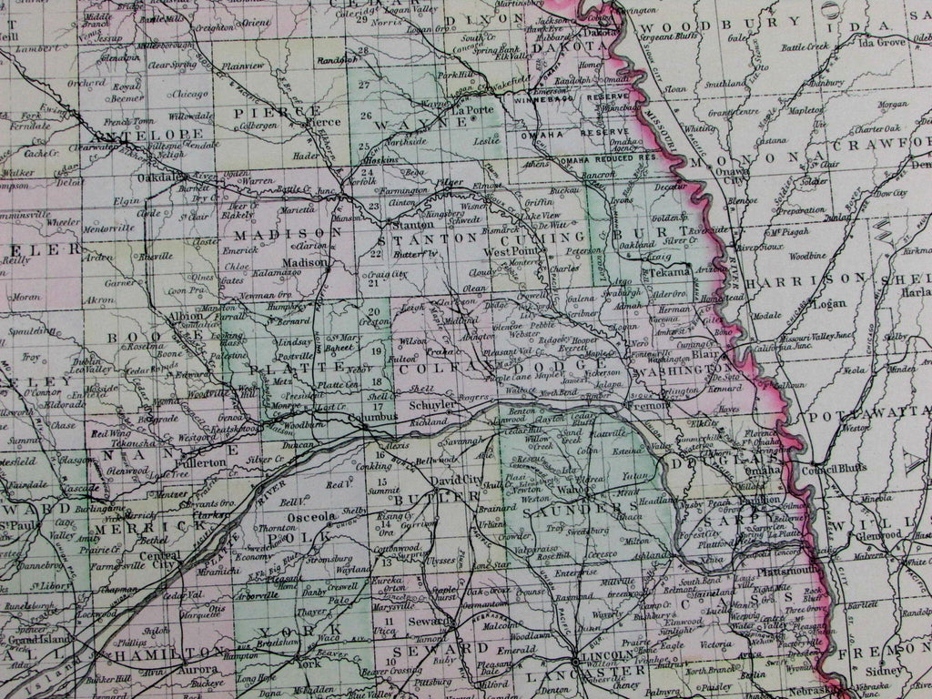
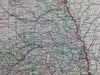
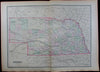
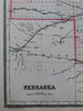
Nebraska
(Western United States)
Issued Philadelphia, 1889 by William Bradley & Bros.
Oversized and quite uncommon late-19th century antique map. Engraved and lithographed with original hand color.
A profusion of interior details, including railroads, Indian territories and reservations, as well as countless individual cities and towns, etc.
In near VG or better condition, minor light surface age wear and toning as typical, but overall a superior visual example. Trivial old light dampstaining along the edges of the wide blank margins, scarcely worthy of mention.
Original fold line as issued.
Sheet measures c. 26" x 19"
Engraved area measures c. 21 1/2" x 14 1/2"
Tooley's Dictionary of Mapmakers , vol. I, pg. 182.
[R12715]