North Africa Morocco Azores Canary Islands Morocco Tunis 1840 Kiepert huge map
AntiqueMapsPrints.com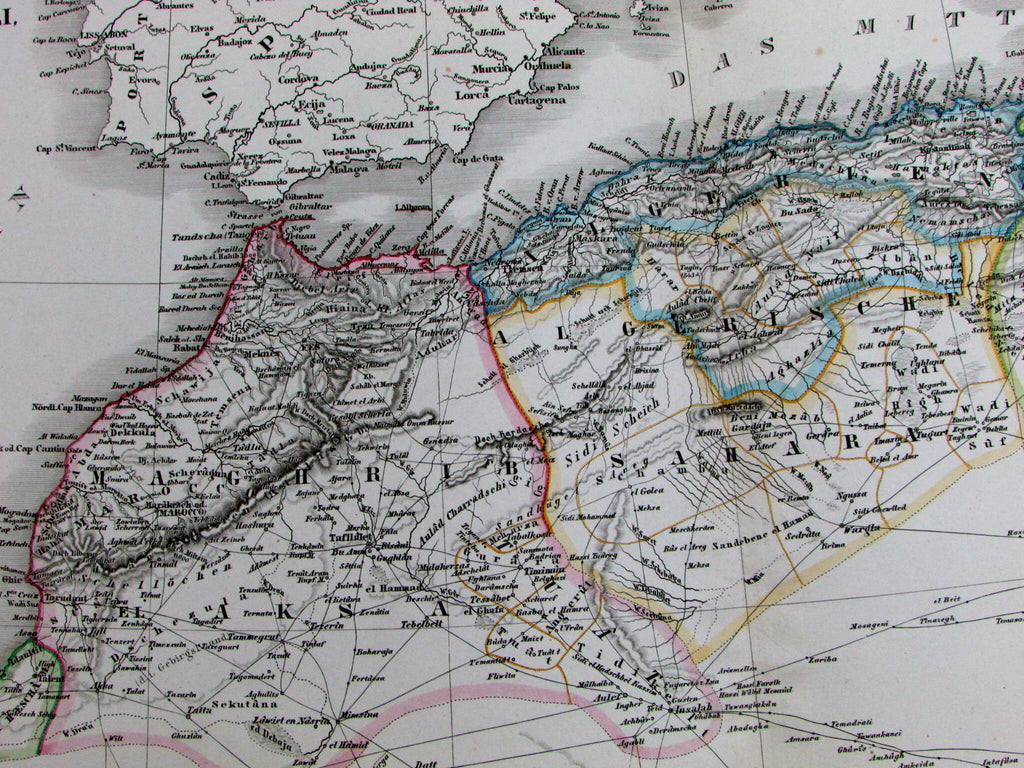
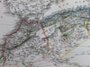
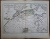
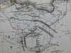
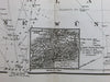
Das Nordwestliche Africa
enthaltend die Staaten Fez und Marokko,
Algier, Tunis und Tripoli,
die Sahara, Canarischen
und Azorischen Inseln
(North Africa / Morocco / Azores / Canary Islands / Sahara Desert- Tuaregs- Bilma- etc.)
Issued Germany, 1840 by H. Kiepert.
Beautiful mid-19th century antique engraved map with original outline hand color. Very large elephant folio format, among the largest single sheet maps of the era.
In mostly clean fresh condition. Nearly as issued in appearance, a plethora of details not found elsewhere at this level in this combination.
Original fold line as issued.
Sheet measures c. 28" x 22"
Engraved area measures c. 25 1/2" x 17"
[R12253]
Tooleys Dictionary of Mapmakers, v. 3, p. 24.