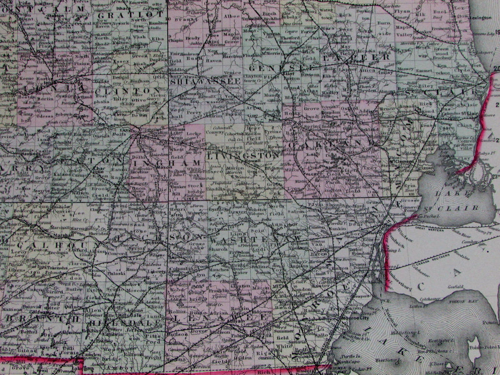
North & South Dakota joined Indian lands public survey 1883 Gray large map
AntiqueMapsPrints.com


Gray's New Map
of Dakota
With Part of Manitoba, etc.
Issued Philadelphia, 1876-7 by O.W. Gray & Son, likely based on Colton.
Large oversized folio sheet 19th century map. Fine lithographed pre-statehood map, with original hand color.
Map displays an impressive level of detail, showing railroads, public survey numbers, the names of various Indian tribes, etc. some six years prior to separate statehood for the north and south.
Minor light toning but to our eyes and for most people, a clean, fresh, nice looking example of this large detailed antique map.
Original fold line as issued.
Sheet measures c. 26 3/4" x 17"
Printed area measures c. 24" x 14 3/4"
Tooley's Dictionary of Mapmakers, v. 2, p. 206.
[R13060]
