Philippines Harbor nautical Chart 1900 Rio Grande Mindanao Spanish 1888 survey
Brian DiMambro -Historical Investments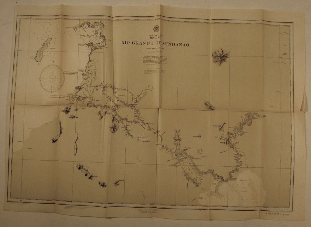


Rio Grande of Mindanao- From a Spanish Survey in 1888
(Philippine Islands)
Issued 1900, Wash. D.C. by US Dept. of the Navy
Norris Peters Co.- Photo-Lithographic Company
Drawn by W.E. Green- Engraved by Birche, Franke & Keeven
Fine, appealing and uncommon original old nautical harbor chart/ coastal map. Originally issued in a larger format by the U.S. Government, here re-issued in 1902 by the U.S. Government in a reduced (but still large) folded format. Printed on a bond-type of paper, nice color lithographic type printing. the printing method used has created a look and feel unique to this era and the chart feels like something produced long ago. The fold-lines add character, it's not new or perfect, but still attractive as issued and worthy of display.
As originally issued long ago, an actual antique/ vintage printed sheet of paper, not a modern copy or reprint. The paper sheet could show various minor signs of age, but if we are offering it for sale, you can be 100% certain it is entirely worthy of ownership by even the most discerning collector or dealer.
A picture is worth a thousand words. The scan is a major part of the item description. Please examine it closely, as what you see is what we will send you.
[note: we grade conservatively and always seek to disclose any noteworthy flaws.].
Sheet remains well preserved, keeping in mind it is not modern or new, so minor flaws to paper unworthy of specific mention are sometimes to be expected. Some light age wear or surface spotting/ soiling, all of which is hopefully visible within the zoomable scan.
Paper and image remains overall clean & sound. Old maps & prints often display small minor repairs on the back, could have uneven blank margins, might have extraneous fold-lines or other small minor age flaws which do not detract from the visual appeal or value. Condition is carefully considered in arriving at our price.
Great old vintage antique map entirely worthy of hanging for display.
A cartographic depiction captured in a manner entirely unique to this era.
Sheet measures c. 16 3/4" H x 25 1/2" W.
Printed area measures c. 15" H x 24" W
[R7200]