Richmond Virginia Peninsular Campaigns Civil War 1862 Johnson detail antique map
AntiqueMapsPrints.com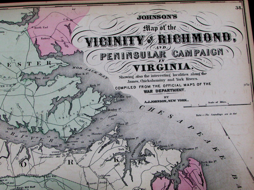
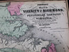

Johnson's Map of the Vicinity of Richmond,
and Peninsular Campaign in Virginia.
Showing also the interesting localities along the
James, Chickahominy and York Rivers.
Compiled from the Official Maps of the War Department.
(Virginia / Civil War Campaigns on Atlantic Ocean seaboard / etc.)
Issued New York, 1862 by A.J. Johnson. [1868 re-issue of same plate].
Lovely antique engraved and lithographed map with original hand color.
Details of modern interest include the navigational emphasis with sounding depths, directional arrows showing tropp/ army movements, city plan far left middle edge, numerous battle notations with dates, etc.
In attractive but slightly defective condition ; Small chip to lower left corner as seen. Paper rather age toned as typical, very narrow margins all around as always given the plate was too large for most sheets it was printed upon. Margins well toned, map should be handled carefully. Overall the printed image area is clean. Nice age patina.
Original fold line as issued.
Sheet measures c. 26" x 18"
Engraved area measures c. 22 1/2" x 16"
Folio.
[R12275]
Tooley's Dictionary of Mapmakers , v. 2, p. 443, noting A.J. imprint only appears 1866-on.