Southern Africa Marocco Algeria Cape Colony Natal 1868 scarce old Johnston map
AntiqueMapsPrints.com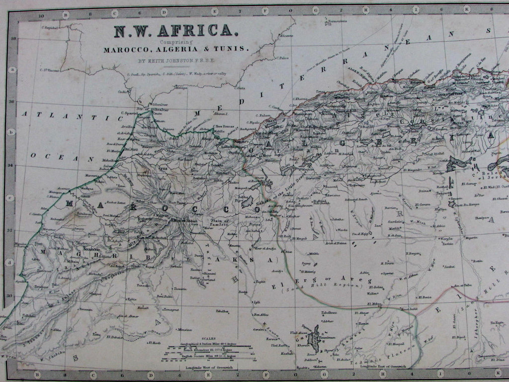
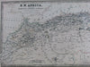
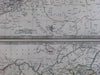
N.W. Africa
Comprising Marocco, Algeria & Tunis.
/
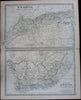
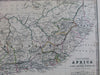
Southern Africa
Comprising Cape Colony, Natal &c.
(2 maps on 1 sheet)
Issued Edinburgh & London, 1868 by Keith Johnston, for William Blackwood & Sons.
Engraved by W & A.K. Johnston.
Well detailed mid-19th century English maps, with original outline hand color.
The depiction of South Africa is of particular cartographic interest for the brief political boundaries captured, outlined and named. This configuration existed but for a brief moment in historical time and evolved soon after this map was produced.
Minor light toning and small scattered age spotting as typical for maps of this vintage, short split at fold line ends, perhaps small minor paper flaws, but to our eyes and for most people, an entirely acceptable and nice looking example of this antique map.
Original fold line as issued.
Sheet measures c. 18" x 14 1/2"
Printed area measures c.16 1/2" x 12 1/2"
Tooley's Dictionary of Mapmakers , vol. 2, pg. 447.
[R13083]