United State Alaska Territory westward migration railroads 1879 Gray old map
AntiqueMapsPrints.com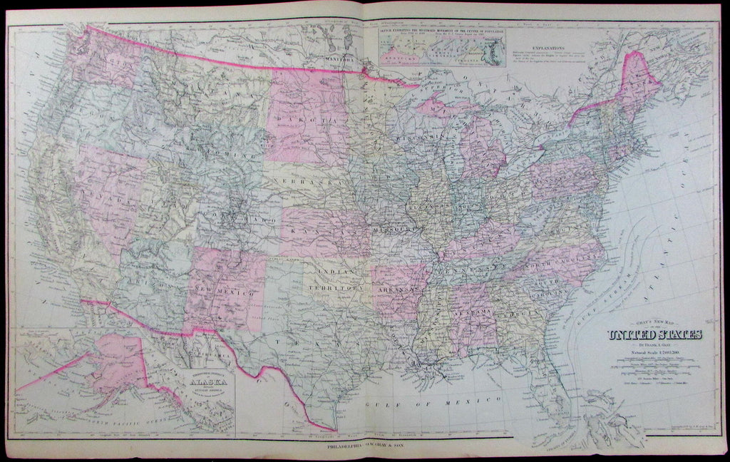
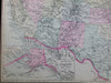
Gray's New Map
of the United States
Issued Philadelphia, 1879 by Frank & O.W. Gray.
Lovely mid-19th century antique map of the United State. Lithographed with soft original hand color.
With inset map of Territorial District of Alaska at bottom left (a brief transitional phase), and "Sketch Exhibiting the Westward Movement of the Centre of Population" at top near centerfold.
Minor light toning, slight dustiness andsigns of age, but mostly clean pleasing example.
Sheet measures c. 14 1/4" x 17".
Printed area measures c. 11 3/4" x 14 3/4".
Tooley's Dictionary of Mapmakers , v. 2, p. 206.
[R13097]