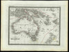
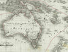
Australia with strong hooked Lake Torrens error shown c1860 Vuillemin scarce map
Brian DiMambro- Antiquarian Books, Maps & Prints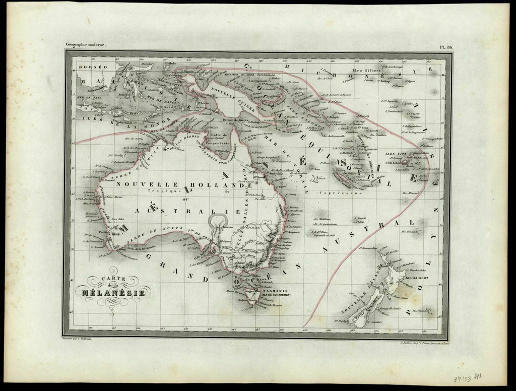
Carte de la Melanesie.
(Oceania / Australia / New Zealand).
Issued c.1860, Paris by P. Bellier. Drawn by A. Vuillemin.
Of cartographic and historical note for the strong prominent depiction of an erroneous hooked shaped lake Torrens.
Scarce mid-19th century antique map with original outline hand color.
Couple minor scattered light spots, overall clean with nice age patina.
Sheet measures c. 11 1/4"H x 15"W.
Printed area measures c. 8 5/8"H x 11 5/8"W.
[R18815].
Tooley, Mapping of Australia, 1308 (but not noting the hooked lake Torrens).