Circle of Lower Saxony Holy Roman Empire Bremen Holstein 1746 LaRouge map
Brian DiMambro- Antiquarian Books, Maps & Prints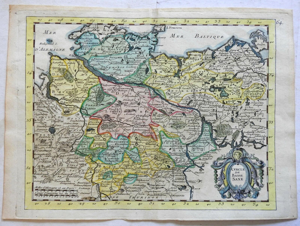
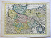
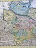
Cercle de Basse Saxe.
(Europe, Holy Roman Empire, Germany, Lower Saxony, Elbe River, Magdeburg, Bremen, Mecklenburg, Holstein, Luneburg).
Issued 1746, Paris by LaRouge..
Mid 18th century engraved map with lovely hand color.
Nice looking example, pleasing age patina, any minor age flaws easy to overlook or forgive.
Original centerfold as issued.
Sheet Measures c. 8 3/4" H x 12" W.
Engraved Area Measures c. 8" H x 10 3/8" W.
Cartographic Reference(s):
Tooley's Dictionary of Mapmakers, vol. 3.
[R22656].