Europe Congress of Vienna German Confederation 1821 M. Carey lg. hand color map
Brian DiMambro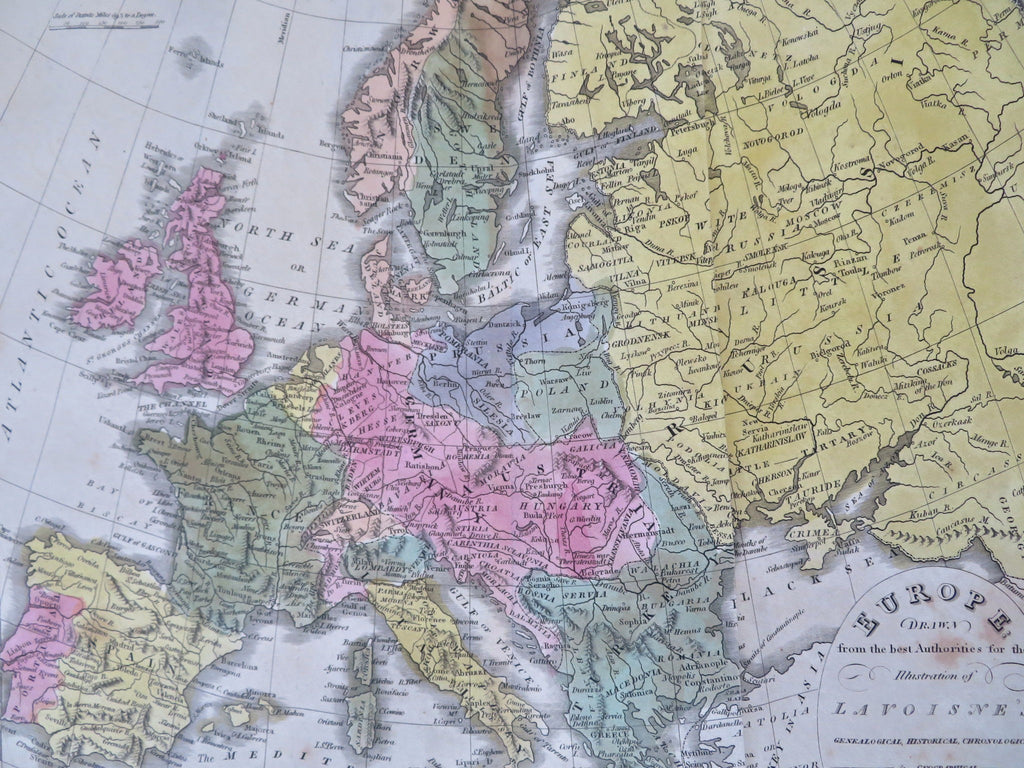
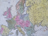
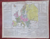
Geographical & Statistical Map of Europe.
(Old Maps, 19th Century Maps, Europe, Iberia, France, British Isles, Iceland, Low Countries, German Confederation, Scandinavia, Italy, Poland, Ottoman Empire, Russian Empire).
Issued 1821, Philadelphia by T.H. Palmer for M. Carey & Sons. Third ed. Engraved by Young & Delleker.
Early 19th century engraved folio sheet map with original hand color.
Great map relating to Europe as it evolves throughout 18th and early 19th century.
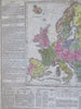
Encyclopedic text relating to the various individual countries surrounds map including religion, Empires, governments, natural history, commerce, etc..
Well preserved, nice looking example with pleasing age patina. Moderate age toning, strong diagonal crease down right of centerfold (could be pressed flat), some damp staining & spotting across sheet.
At bottom of centerfold is a c. 2" split, c. 1" edge splits along bottom edge repaired with archival tape.
Original centerfold as issued.
The heavy paper is somewhat brittle and requires delicate handling. Nice large antique map with a mellowed age patina, looks exactly what you'd imagine an early 19th century folio sheet map might look like if found sitting in a pile of old papers up in an attic.
Sheet Measures c. 17 1/2" H x 22" W.
Engraved Area Measures c. 9 1/2" H x 19" W.
Cartographic Reference(s):
Tooley's Dictionary of Mapmakers, vol. 1.
[R33961].