France in Provinces Ancien Regime Orleans Burgundy Provence 1806 Cary folio map
Brian DiMambro- Antiquarian Books, Maps & Prints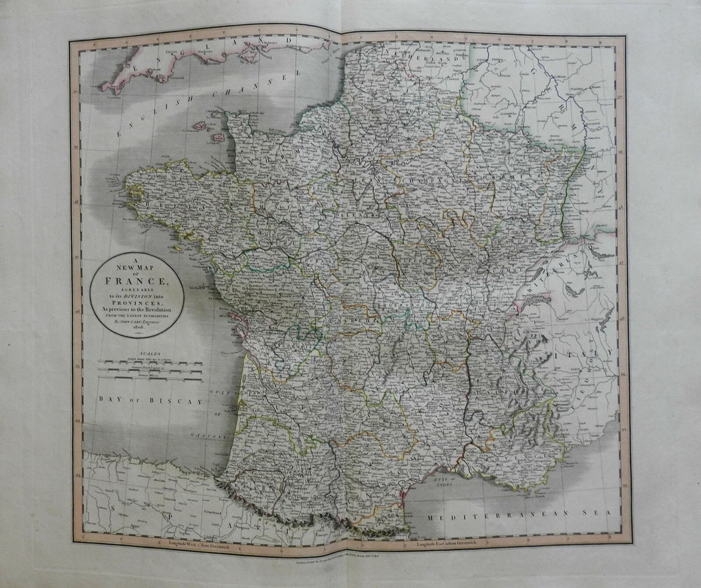
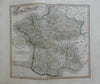
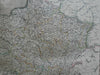
A New Map France, Agreeable to its Division into Provinces As Previous to the Revolution.
(Europe, France, Ancien Regime, French Provinces, Brittany, Normandy, Ile de France, Poitou,Orleans, Champagne, Burgundy, Aquitaine, Provence).
Issued 1806, London by Cary.
Early 19th century engraved map with original outline hand color.
Nice looking example, pleasing age patina, any minor age flaws easy to overlook or forgive. Maps remains in very good condition, a lovely survival.
Folio sized map. Original center fold as issued.
Sheet measures c. 22 3/4" H x 26 1/2" W.
Engraved area measures c. 18" H x 20" W.
Cartographic Reference(s):.
Tooley's Dictionary of Mapmakers, vol. 1.
[R22369].