Island of Madeira Portugal Atlantic Islands 1785 Miniature Coastal Harbor Map
Brian DiMambro- Antiquarian Books, Maps & Prints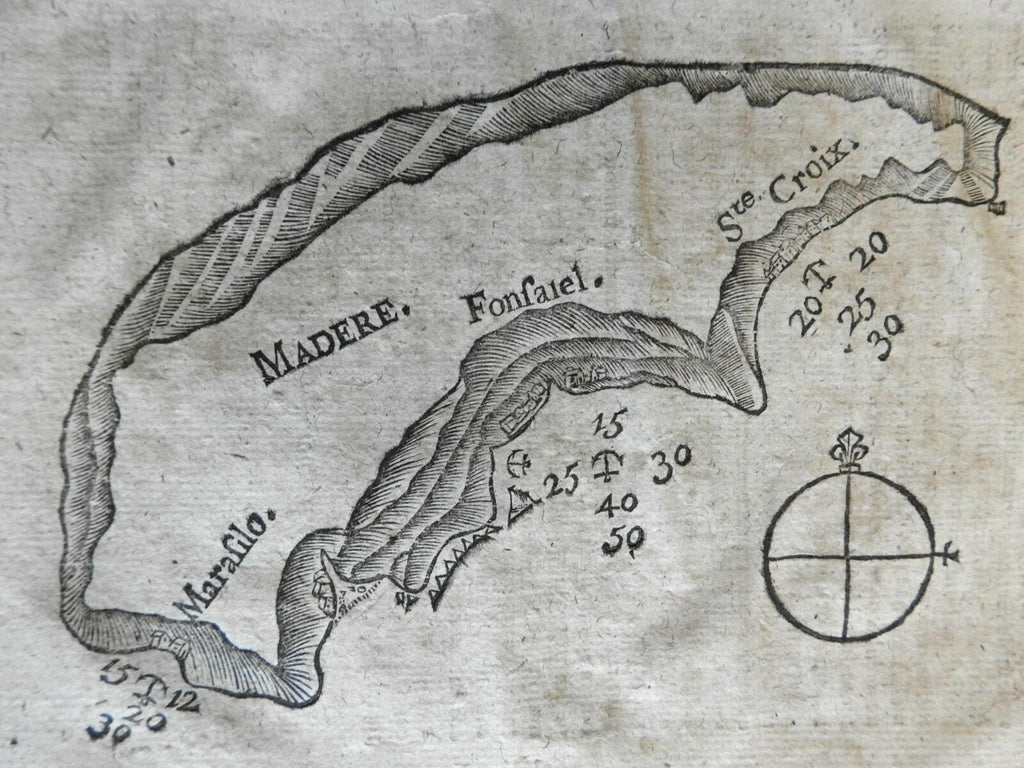
Madere.
(Atlantic Ocean, Portugal, Madeira, Harbor Map, Coastal Survey,).
Issued 1785, Saint-Malo, France for Bougard.
Scarce 18th century French miniature woodcut map.
An almost folk-art map/ chart of one of the island with anchorage spots and sounding depth
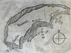
Charming and very uncommon 235 year old miniature harbor chart of this location. Printed on a page with text surrounding the map and on the reverse as always. This is the only way to own an original example of this almost primitive little map.
Nice looking example, pleasing age patina, any minor age flaws easy to overlook or forgive.
Sheet measures c. 7 3/4" H x 6" W.
Cartographic Reference(s):
Tooley's Dictionary of Mapmakers, vol. 1, pp. 172.
[R22480].