Napoleonic Low Countries Belgium Netherlands 1804 Cary map oversized detailed
Brian DiMambro- Antiquarian Books, Maps & Prints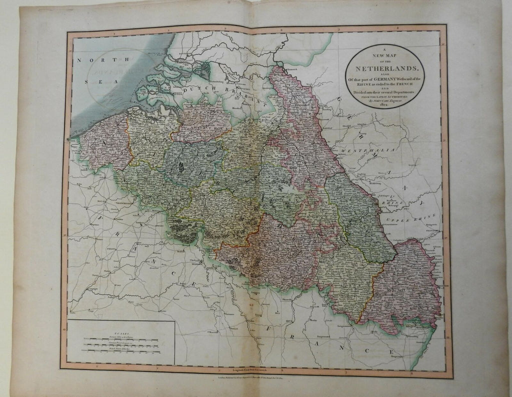
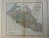

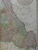
A New Map of the Netherlands, Also of that Part of Germany Westward of the Rhine as Ceded to the French and Divided into Several Departments from the Latest Authorities.
(Europe, Low Countries, Netherlands, Belgium, Luxembourg).
Issued 1804, London by John Cary.
Early 19th century oversized engraved folio map with original hand color.
Nice looking example, pleasing age patina, any minor age flaws easy to overlook or forgive.
Original center fold as issued.
Sheet measures c. 21" H x 28" W.
Engraved area measures c. 18" H x 21" W.
Cartographic Reference(s):.
Tooley's Dictionary of Mapmakers, vol. 1.
[R22259].