Turkey in Europe Balkans Greece Bulgaria Romelia 1856 Dufour Dyonnet huge map
Brian DiMambro- Antiquarian Books, Maps & Prints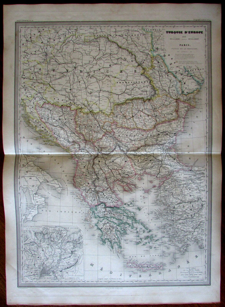
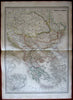
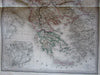
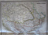
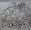
Turquie d'Europe.
(Turkey in Europe- Ottoman Empire in Europe, Balkan Peninsula, Greece, Greek Archipelago, Bosporus, Crete, Albania, Bulgaria, Serbia- Dalmatia, Carpathian Mountains).
Issued 1856, Paris, by A.H. Dufour.
Inset lower left "Plan of Constantinople and Bosphorus".
Monumental and beautifully engraved mid-19th century map with original hand color. A very large, over-sized map, not to be confused with similar maps of this era which are typically half this size.
Original fold line as issued, printed on thick heavy paper.
Sheet measures c. 33 5/8" H x 24 1/8" W.
Printed area measures c. 29 1/2" H x 21 5/8" W.
Tooleys Dictionary of Mapmakers , v. 1, p. 396.
[R18687].